
By Rorisang Modiba
- The South African Weather Service warns that Limpopo, Mpumalanga, Free State and parts of the Eastern Cape face heavy rain, hail and flooding on Friday, 28 November.
- Western coastal towns face strong morning winds, while dry areas in the Northern Cape, Western Cape, North West and Eastern Cape face very high fire danger.
Homes, farms and small towns across the country are bracing for a rough Friday as storms, coastal winds and fire danger hit at the same time.
The South African Weather Service says Limpopo and most of Mpumalanga will face the worst of the weather, with heavy rain, damaging winds, flooding on roads and bridges, and small hail.
Free State, parts of the North West and the central Eastern Cape are also in danger, with warnings that heavy rain and hail could cause local flooding.
Communities along the west and south coasts of the Western Cape will wake up to strong morning winds. SAWS has issued a warning for difficult sea conditions from Table Bay to Plettenberg Bay.
In many dry inland areas, the danger comes from the heat. The Northern Cape, parts of the Western Cape, the North West and the Eastern Cape face extremely high fire risk. Even one spark could cause serious damage.
Across Gauteng, residents can expect cloudy, cool weather with widespread showers and thundershowers. Storms will also spread across Mpumalanga, Limpopo, the North West and the Free State.
In the Northern Cape, the west stays fine, but the rest of the province will be hot with storms in the east.
The Western Cape will be cloudy and warm along the coasts, while the rest of the province heats up, with isolated afternoon storms in the far east.
The Eastern Cape will swing between hot and stormy, with widespread storms in the west and scattered storms in the east.
KwaZulu-Natal will wake up to morning fog before clouds and scattered storms move in.
SAWS also says the UVB sunburn index will be very high, and people should avoid spending too much time in the sun.
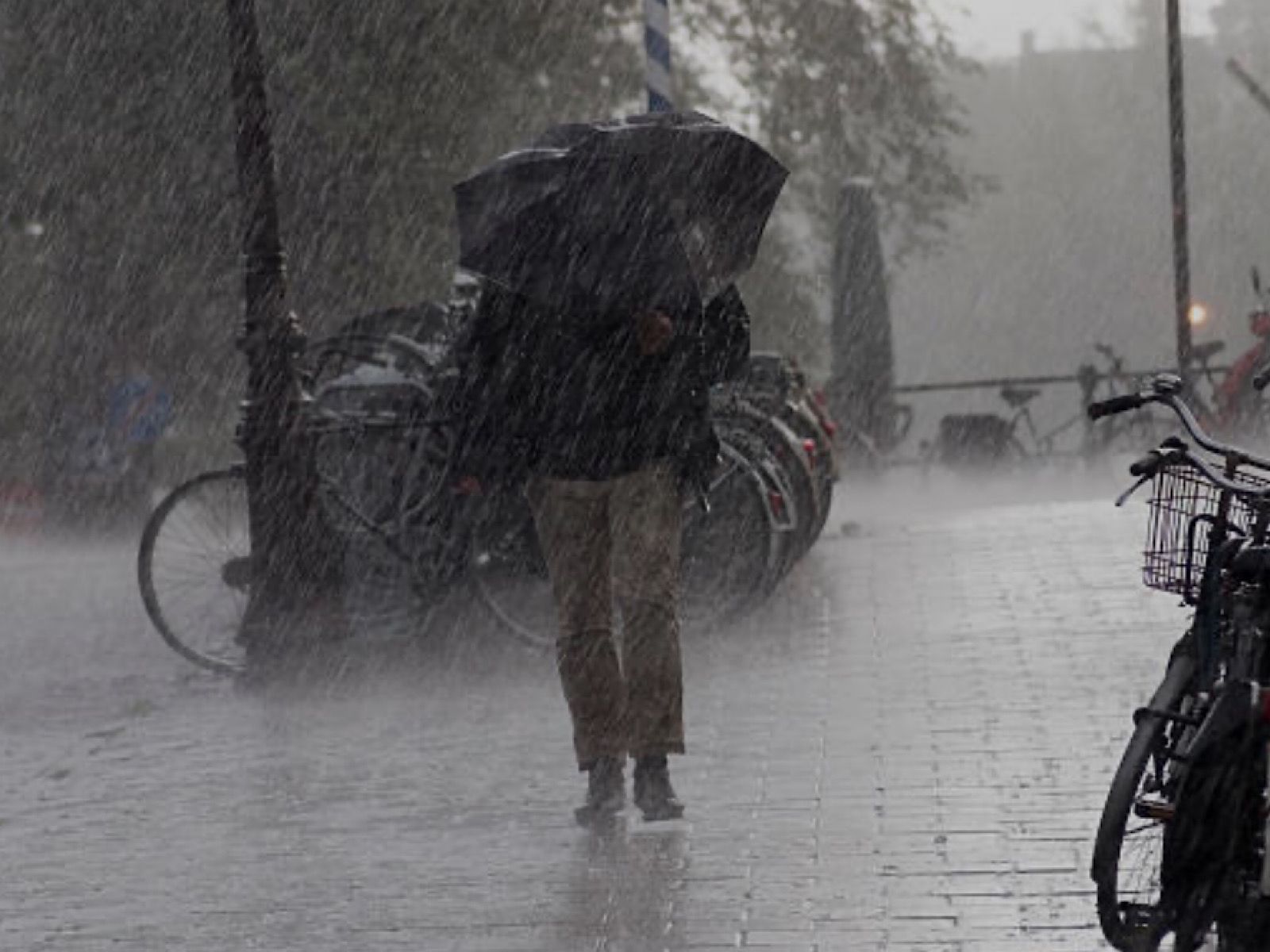
Pictured above: Weather.
Image source: File