
Saws has issued a yellow Level 2 warning for severe thunderstorms, flooding, hail and damaging winds over parts of the Northern Cape, Western Cape, Free State, North West and southern KwaZulu-Natal on Saturday evening.
Scattered showers and thunderstorms are expected across central and western South Africa from Friday until Sunday morning.
The South African Weather Service has warned of scattered and widespread showers and thunderstorms over central and western South Africa from Friday until Sunday morning.
A yellow Level 2 warning is in place for Saturday evening, covering the Northern Cape, northern parts of the Western Cape, western parts of the Free State, extreme western parts of North West, and the extreme southern parts of KwaZulu-Natal. The warning covers severe thunderstorms, heavy downpours, damaging winds, hail and excessive lightning, which could cause localised flooding on vulnerable roads, low-lying areas and bridges, and damage to settlements and infrastructure.
Here’s what to expect in your province on Saturday, 26 September:
Gauteng: Partly cloudy and warm, with isolated showers and thundershowers in the south-west. UVB sunburn risk is very high, take care in the sun.
Mpumalanga: Cloudy with morning fog along the escarpment, otherwise partly cloudy and warm, hot over the Lowveld. Isolated showers and thundershowers along the escarpment in the afternoon.
Limpopo: Cloudy in the east at first, with morning fog in central areas, otherwise fine and warm to hot.
North West: Partly cloudy, windy and warm, with isolated showers and thundershowers, scattered in the west.
Free State: Partly cloudy, windy and cool to warm, with isolated to scattered showers and thundershowers over the east and central areas, widespread in the south.
Northern Cape: Cloudy, windy and warm, with scattered showers and thundershowers, widespread in the west and south.
Western Cape: Cloudy and warm, cool in places, with widespread showers and thundershowers over the West Coast and Central Karoo, scattered elsewhere. UVB sunburn risk is very high.
Eastern Cape (west): Cloudy, windy and cool, with widespread showers and thundershowers.
Eastern Cape (east): Partly cloudy in places, otherwise cloudy and warm, with scattered showers and thundershowers, widespread in the west, where it will be cool and windy.
KwaZulu-Natal: Morning fog over the interior, otherwise partly cloudy and cool to warm, with scattered showers and thundershowers in the extreme south, isolated elsewhere except the northeast. UVB sunburn risk is high.
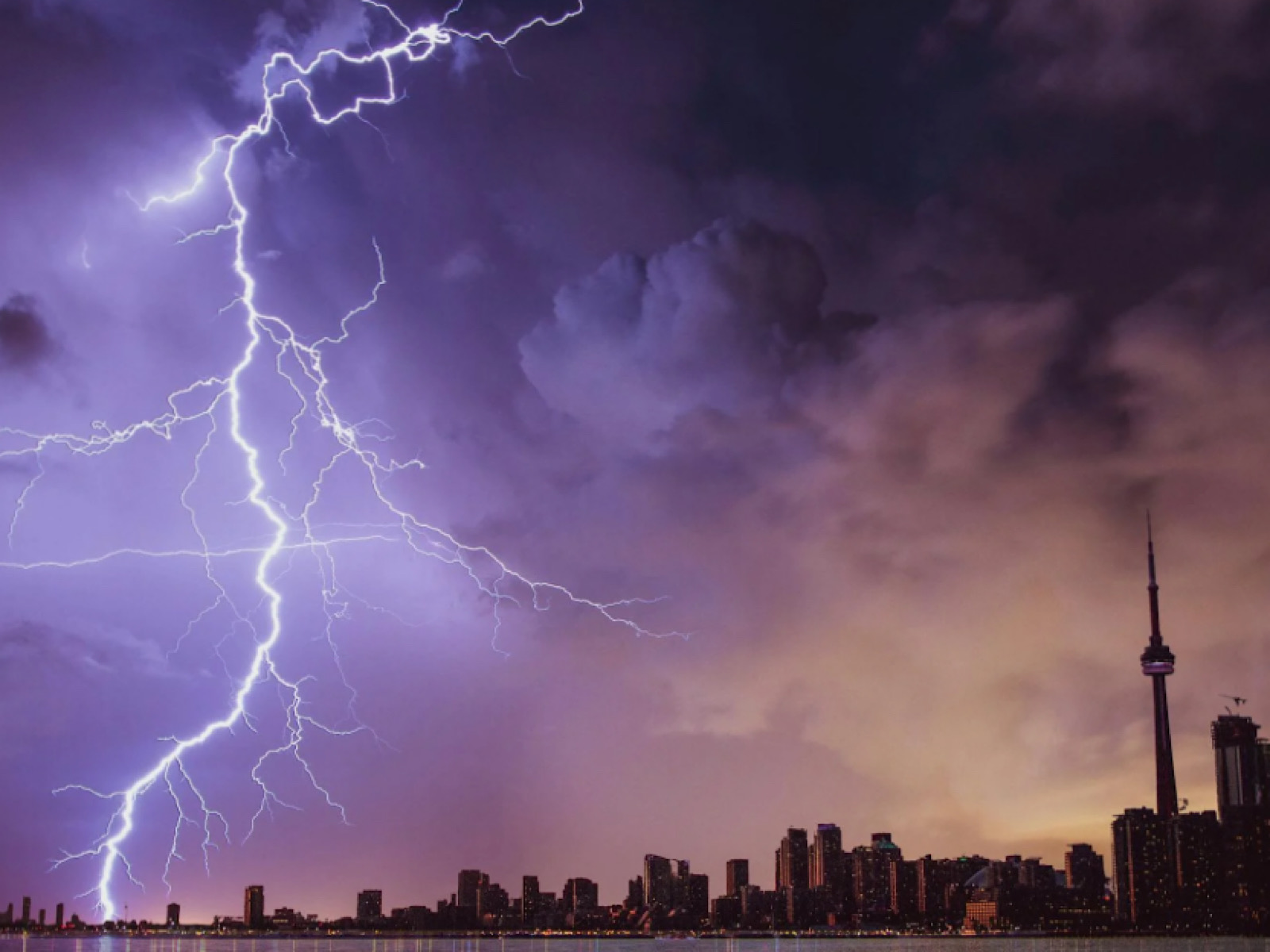
Pictured above: The Weather Service has warned of severe storms, flooding and hail across several provinces this weekend.
Image source: File